Scroll

Potosi, Texas  ·  Taylor County

Room to build a life
on the Texas plain.

Eighty six surveyed homesites across three hundred and forty three acres of oak motte, open pasture and creek bottom, minutes southeast of Abilene.

343.2
Total Acres
86
Homesites
2.0–15.0
Acre Lot Range
Two
Phases

The Development

Acreage homesites, surveyed and ready.

Lytle Cove Estates is a 343 acre land development in Potosi, Texas, platted into 86 individual homesites and delivered in two phases. Lots run from two acres to just over fifteen, with the larger tracts backing to the tree line and the creek drainage that runs through the property.

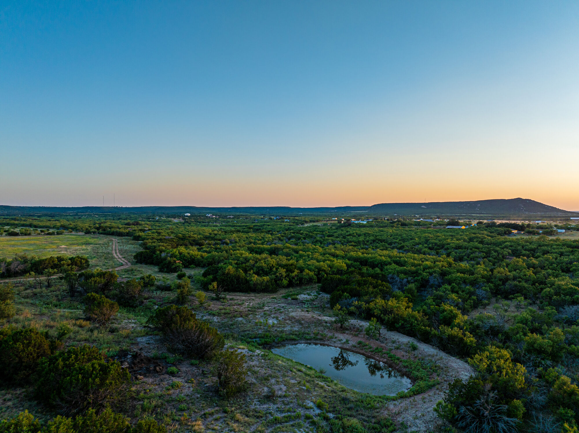
The land has the character people move out of town for: mature live oak and mesquite, rolling pasture that holds a long view west, and quiet county road frontage. It is close enough to Abilene for the commute to stay reasonable and far enough out that the sky is still dark at night.
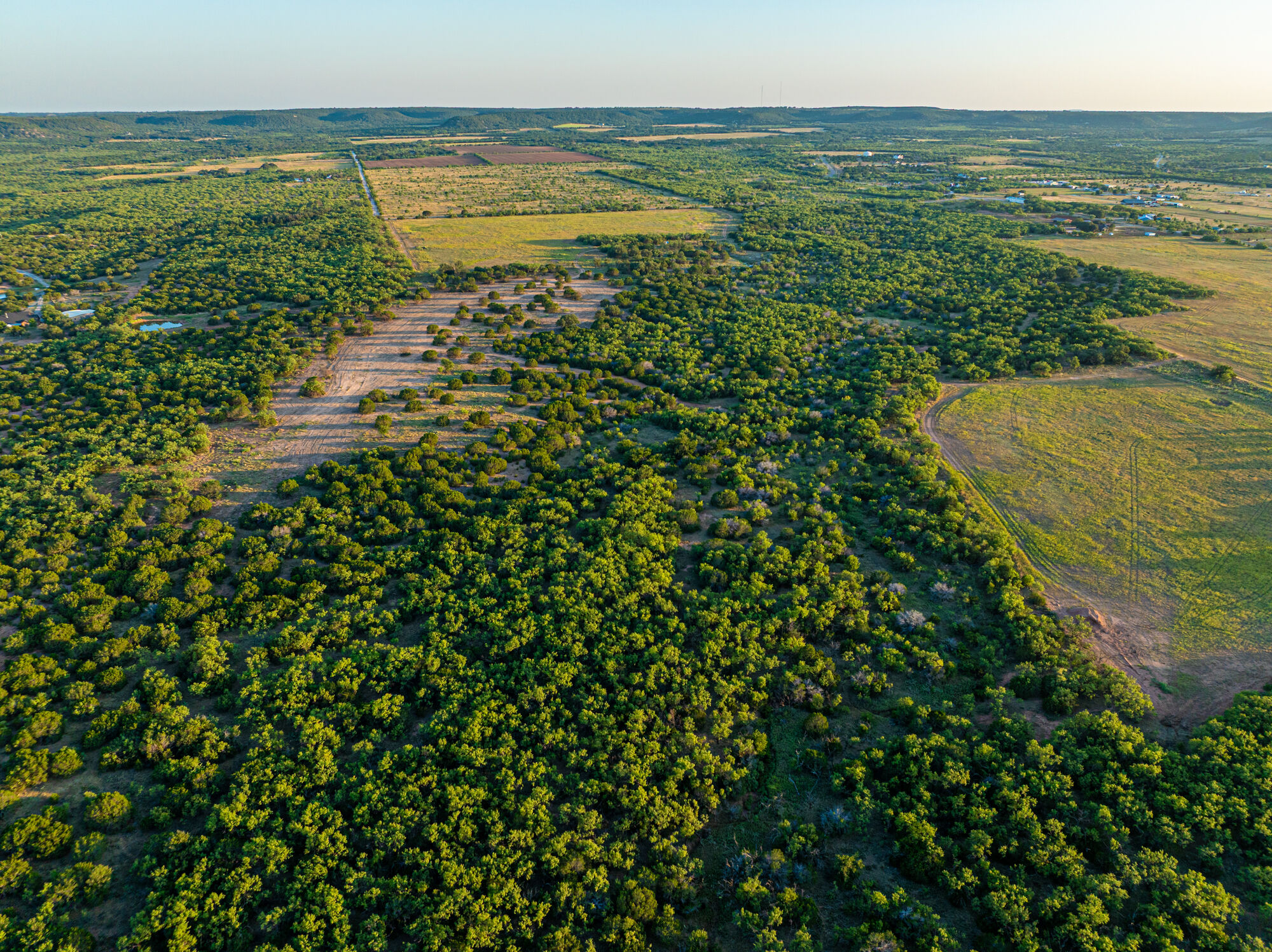
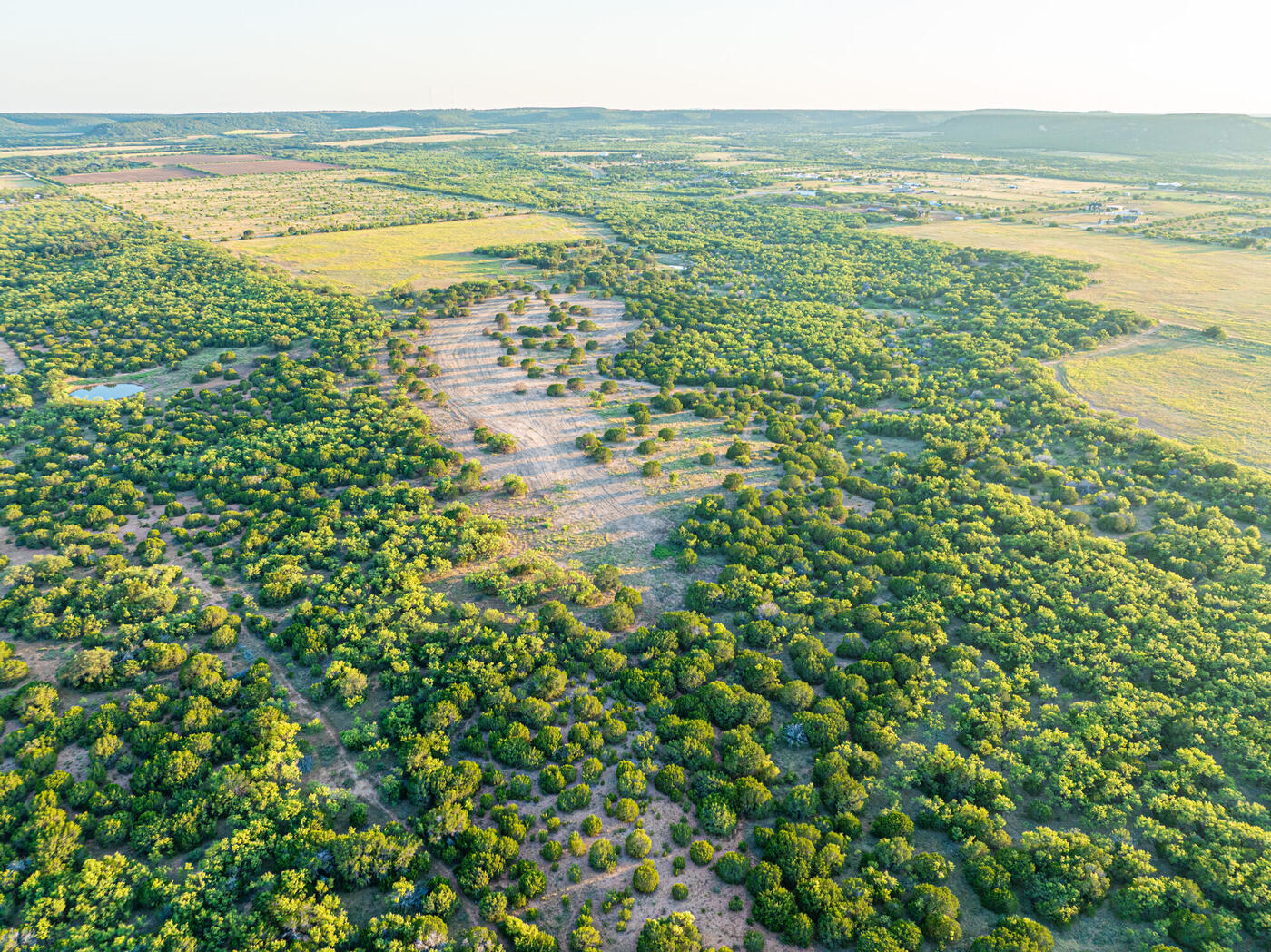
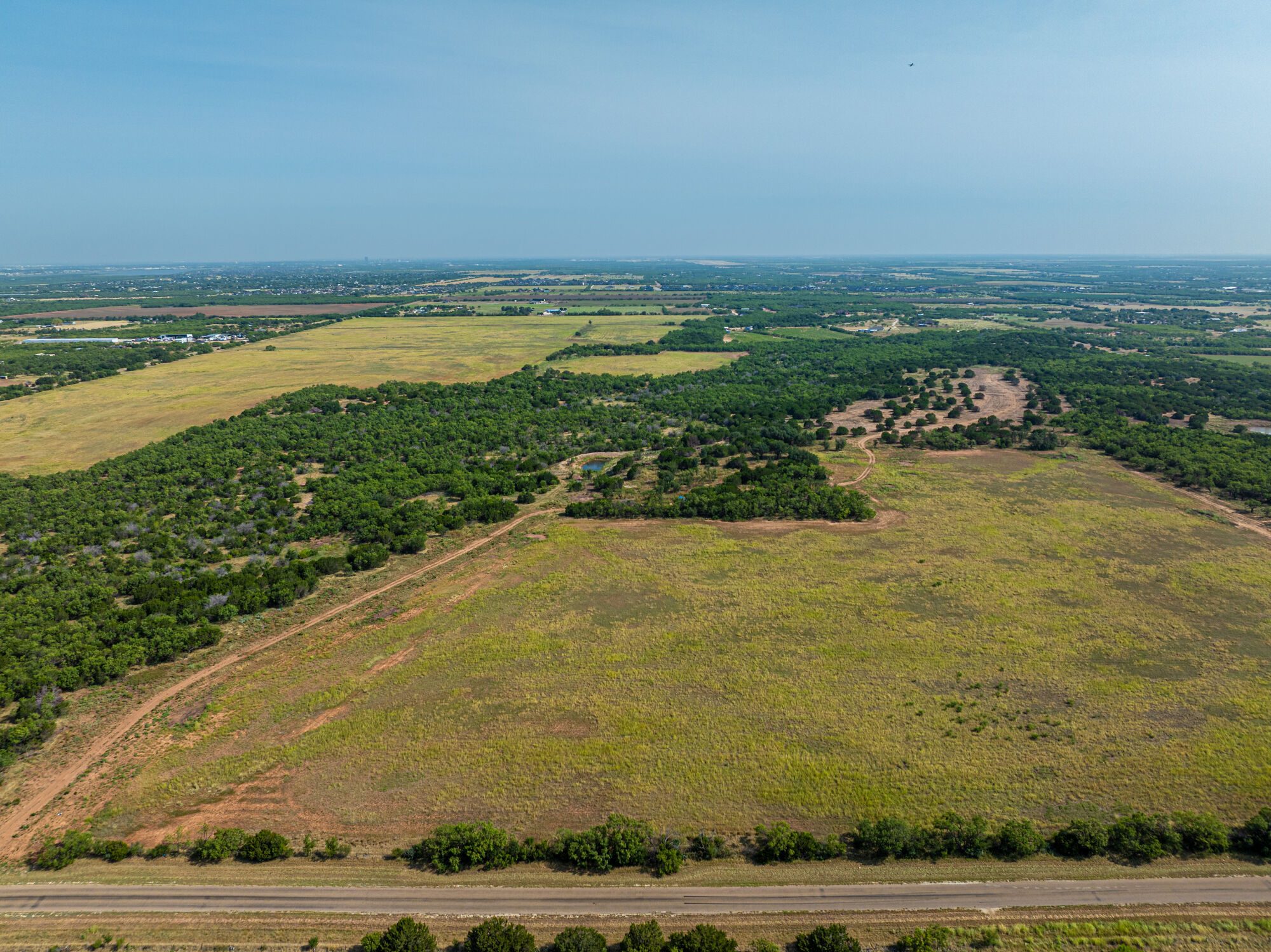
Aerial view of rolling pasture and oak motte at Lytle Cove Estates
343.2
Gross Acres
Total platted acreage across both phases, inclusive of road right of way.
86
Homesites
Individually surveyed lots, each with frontage on an interior road.
3.8
Average Lot Size
Acres. Individual lots range from 2.03 to 15.04 acres.
2
Phases
Phase One covers Lots 1 to 55; Phase Two covers Lots 56 to 86.

Acreage shown is computed from the recorded lot geometry and rounded for display. Figures are preliminary and subject to the final recorded plat.

The Setting

Big country, close to town.

The property sits in the low hills southeast of Abilene, where the Callahan Divide breaks the horizon and the light runs long across the grass every evening.

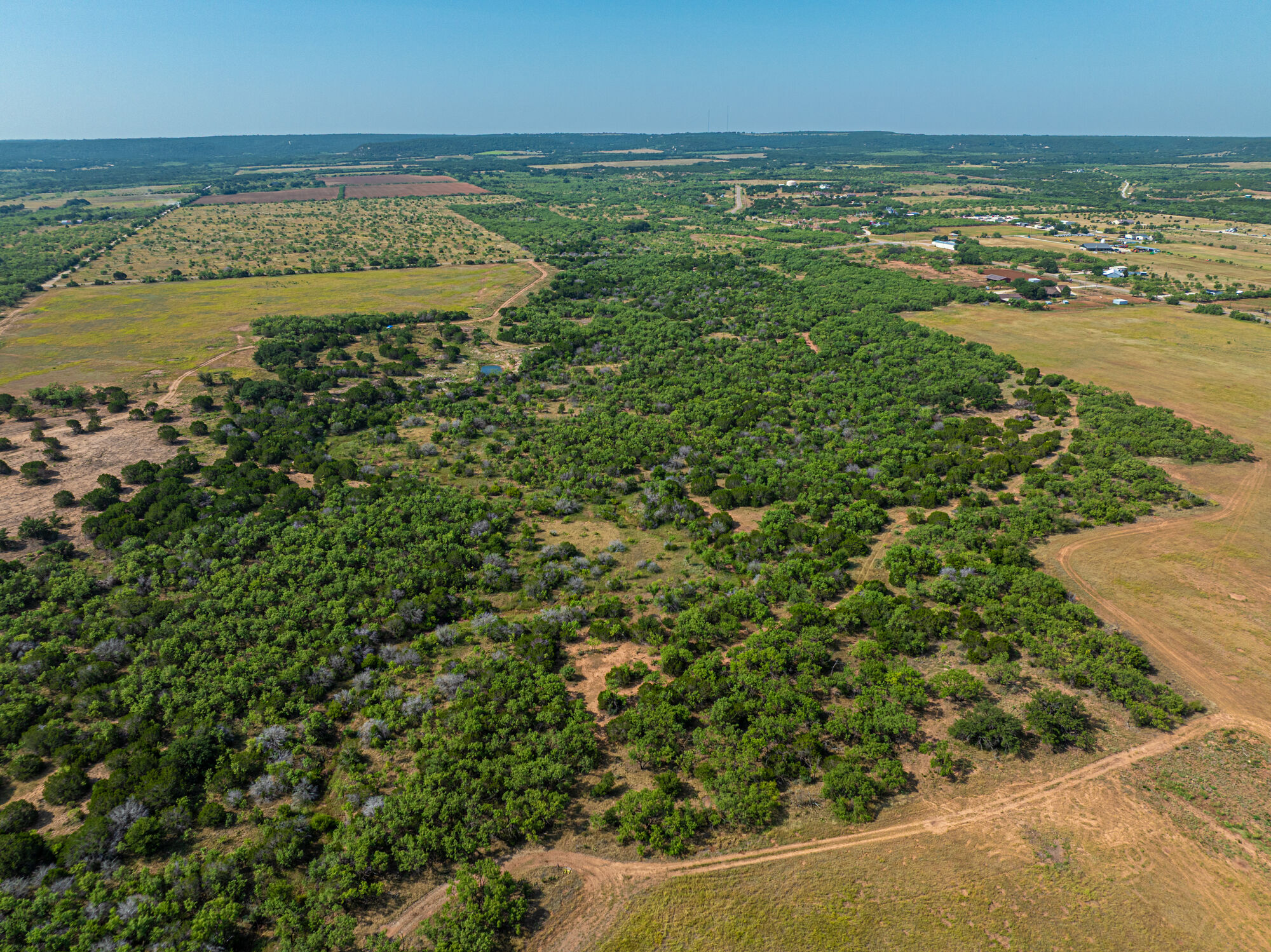
Mature live oak canopy across the property
01

Mature tree cover

Dense stands of live oak and mesquite run through the center and eastern reaches of the property, giving the interior lots natural screening and shade that takes decades to grow. Several homesites are carved directly into the motte.

Pond and creek drainage on the property
02

Water and drainage

A creek drainage and stock tank sit within the property boundary, holding water through the season and drawing deer, turkey and dove. The lots along the drainage are among the larger tracts in the plat.

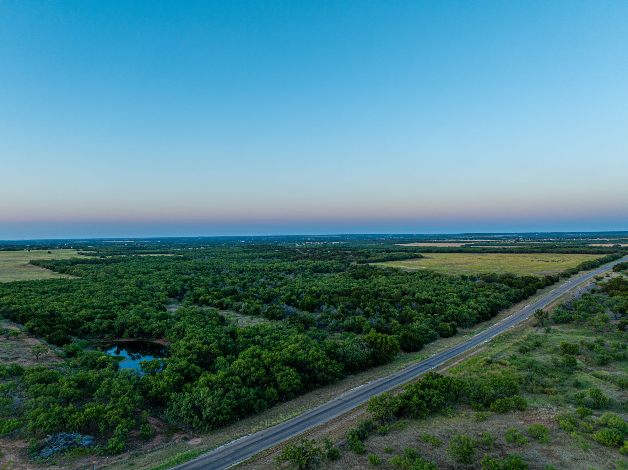
County road frontage along the development
03

Access and frontage

The development is served by an interior road network tying into the existing county road, so every homesite has direct paved approach. Utility routing follows the road alignment shown on the site map.

Open pasture with long western views
04

Open pasture and long views

The western half opens into clean pasture with an uninterrupted view toward the Buffalo Gap hills. These are the build sites for anyone who wants the house set high with nothing in front of it.

Interactive Site Map

Every lot, on the real aerial.

All 86 homesites are drawn to survey over the property orthomosaic. Select a lot to see its acreage, status and detail, or filter by phase.

Open Full Screen ↗
Available Reserved Pending Sold Select any lot for acreage, status and detail.

Homesites

Delivered in two phases.

Phase One opens the western and southern portion of the property. Phase Two follows to the northeast and carries the larger tracts along the drainage and the eastern tree line.

Phase One

Lots 1 – 55

The first release, covering the western pasture and the southern frontage. Consistent, buildable tracts with the widest road access.

  • Homesites55
  • Lot size range2.03 – 7.06 ac
  • Phase acreage163.5 ac
  • StatusNow releasing
Phase Two

Lots 56 – 86

The northeastern release, including the largest tracts on the property and the homesites backing to the creek and heavy tree cover.

  • Homesites31
  • Lot size range2.52 – 15.04 ac
  • Phase acreage165.0 ac
  • StatusComing forward

Pricing is released by lot. Contact us for the current availability and price list.

Location

Potosi, Taylor County.

Potosi sits in the low hills just southeast of Abilene, at the edge of the Callahan Divide. It is the direction Abilene has been growing for a decade, and it is where people go when they want acreage without giving up a short drive to work, school and the airport.

  • Wylie ISDThe property is zoned to Wylie Independent School District
  • AbileneRegional commercial center, hospitals and universities
  • Buffalo GapHistoric village and the Perini Ranch, just west
  • Abilene Regional AirportDaily commercial service
  • Dallas – Fort WorthApproximately a three hour drive east on I 20

School district boundaries can change. Confirm current zoning with Wylie ISD before relying on it.

Aerial context view toward Abilene from the property

Inquire

Request the price list.

Tell us the lot or the phase you are interested in and we will send current availability, pricing and the recorded plat.

DeveloperBuffalo Gap Capital Partners
PropertyPotosi, Taylor County, Texas

We reply to every inquiry, usually the same day.